

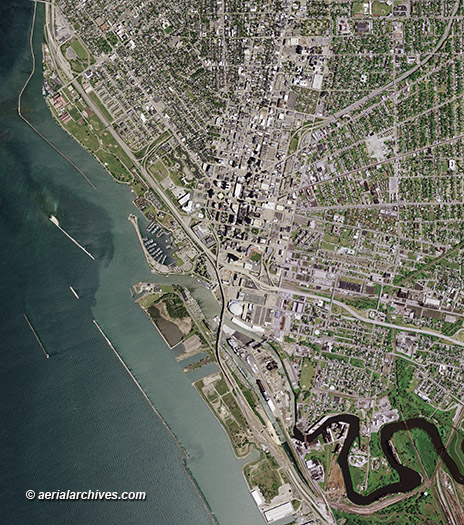
An extensive selection of high resolution vertical aerial photography (aerial maps) of Buffalo, New York, including and historical and current aerial photography is available from Aerial Archives. Available imagery includes georeferenced aerial photography of Buffalo, New York delivered both as prints and in digital form. The aerial of coverage of aerial maps of Buffalo, New York can be completely customized both with respect to scale and to show an entire city or a complete metropolitan area or only a set of blocks. To obtain the aerial map of Buffalo, New York shown above please contact Aerial Archives directly and reference the ID number in the caption to the photograph.
|
|
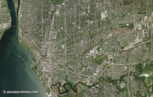
To obtain he aerial map of the Buffalo, New York metropolitan area shown above please contact Aerial Archives directly and reference the ID number in the caption to the photograph. For current aerial photography coverage of Buffalo, New York please contact us.
|
|
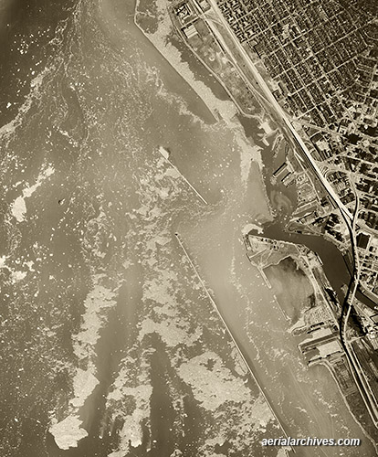
Aerial Archives provides historical aerial photography of Buffalo and other parts of New York. The aerial map of the Buffalo, New York metropolitan area shown above is available for immediate online license or prints or, to obtain it optimized to your needs please contact Aerial Archives directly and reference the ID number in the caption to the photograph. For historical aerial photography we recommend that you use the research request form. Additional information about obtaining existing aerial photography is also available at aerial photography research and at aerial photography research FAQs. For specific requests for Buffalo aerial photography not shown on this site, please contact Aerial Archives directly. |