

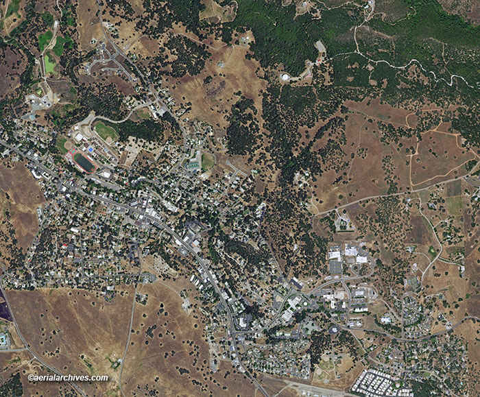
An extensive selection of vertical aerial photography and high resolution satellite imagery of Calaveras county, CA, including aerial maps of Calaveras County, and historical and current aerial photography. Available imagery includes georeferenced aerial photography of Calaveras county delivered both as prints and in digital form. Specialized services include delivery of geotiffs, customized labelling of aerial maps and output to specialized media. The aerial of coverage of aerial maps of Calaveras County can also be completely customized both with respect to scale and to show the county or only a specific community. For current aerial photography and high resolution satellite imagery coverage of Calaveras county, California please contact us. For historical research of aerial photography and satellite imagery of Calaveras County, California we recommend that you use the research request form. Additional information about the process of researching historical aerial photography and satellite imagery for your location is available at aerial photography research. |