

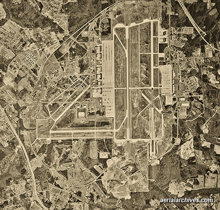
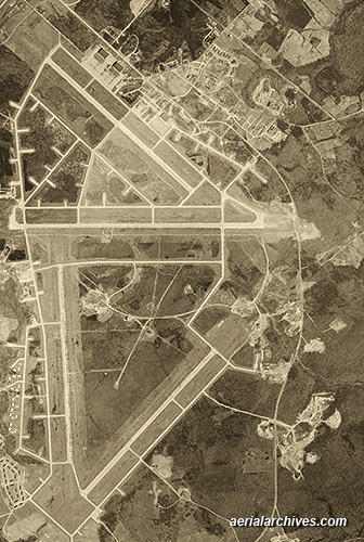
Aerial Photo Maps of Maryland

An extensive selection of current and historical vertical aerial photography Maryland is available from Aerial Archives. The sequence of photographs of Andrews Air Force base spanning 60 years illustrates the changes over time. For additional information, see also aerial maps of Balitmore/A>. For current aerial photography coverage of Maryland please contact us.
|
1940s Aerial Photographs of Maryland
Aerial Archives provides in depth historical aerial photography and satellite coverage of the Maryland. For research of available historical aerial photography of Maryland, we recommend that you use the pdf research request form. Additional information about obtaining existing aerial photography of Maryland is also available at aerial photography research and at aerial photography research FAQs. |