Aerial Archives maintains an extensive library of vertical photography of Mexico City, including aerial maps of Mexico City, with historical and current aerial photography. Available imagery includes orthorectified aerial photography of Mexico City delivered both as prints and in digital form. Specialized services include delivery of geotiffs, customized labelling of aerial maps and output to specialized media. The aerial maps of Mexico City can also be completely customized both with respect to scale and to show the entire area.
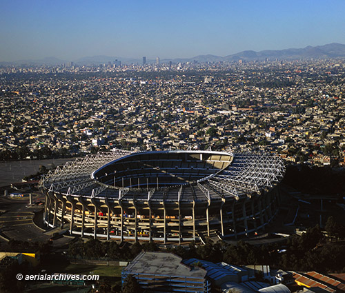
The aerial photograph of the Estadio Azteca in Mexico City shown above is available for immediate online license, or
to obtain this image optimized to your specific specifications please contact Aerial Archives directly.
|