Aerial Photo Maps and Satellite Imagery of Sacramento, California
Aerial Photographs of Sacramento for Immediate Download
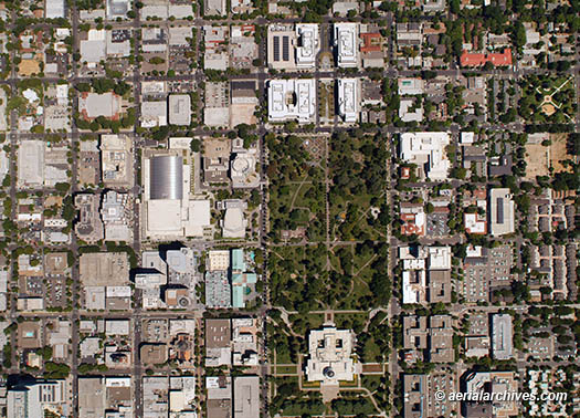
An extensive selection of aerial photo maps of the city of Sacramento, CA and aerial maps and satellite photography of Sacramento county is represented in the library of Aerial Archives. This includes current and historical aerial maps of Sacramento, including views of downtown Sacramento, the Sacramento airports, the surrounding communities and major geographic features and freeways. Available imagery includes georeferenced aerial photography of Sacramento delivered both as prints and in digital form. Specialized services include delivery of geotiffs, customized labelling of aerial maps and output to specialized media. The aerial of coverage of aerial maps of Sacramento can also be completely customized both with respect to scale and to show the entire city or metropolitan area or only a set of blocks. Also available are oblique (at an angle) aerial photographs of Sacramento. The aerial photo map of Sacramento, California shown on this page is available for immediate online license or prints or, to obtain it optimized to your needs or as a higher resolution file please contact Aerial Archives directly and reference the ID number in the caption to the photograph.
|
|
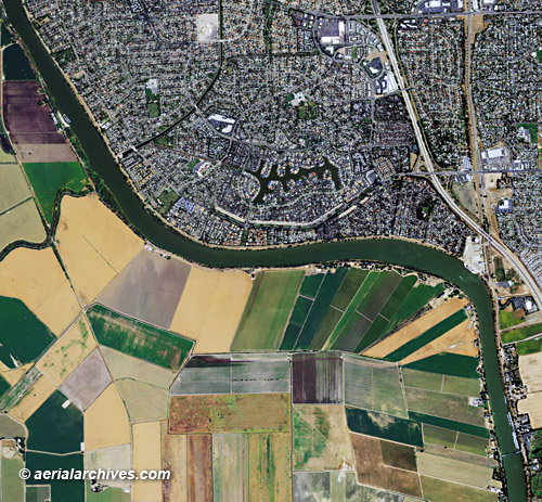
The aerial photo map of Sacramento, California shown on this page is available for immediate online license or prints or, to obtain it optimized to your needs or as a higher resolution file please contact Aerial Archives directly and reference the ID number in the caption to the photograph.
|
|
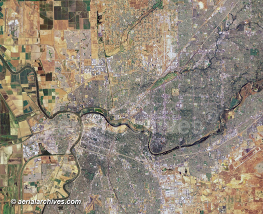
An extensive variety of broad overviews of Sacramento county is available both from aerial photography that has been mosaicked from aerial photography and from high resolution satellite imagery. The aerial photo map of Sacramento, California shown on this page is available for immediate online license or prints or, to obtain it optimized to your needs or as a higher resolution file please contact Aerial Archives directly and reference the ID number in the caption to the photograph.
|
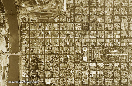
Historical Aerial Photographs of Sacramento
Aerial Archives provides in depth historical aerial photography and satellite coverage of the city and county of Sacramento. The historical aerial photograph of Sacramento, California shown on this page is available for immediate online license or prints or, to obtain it optimized to your needs or as a higher resolution file please contact Aerial Archives directly and reference the ID number in the caption to the photograph. For historical aerial photography of Sacramento we recommend that you use the pdf research request form. Additional information about obtaining existing aerial photography of Sacramento is also available at aerial photography research and at aerial photography research FAQs. |