

Aerial Photographs of Aqueducts
Aerial Photographs of Aqueducts for Immediate Download
|
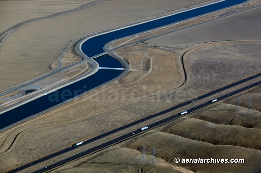
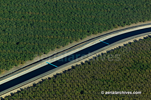
The aerial archives library contains aerial photographs of aqueducts in numerous regions including Arizona, Mexico and California. Included in the collection are both oblique (at an angle) aerial photographs of features of aqueducts and vertical (straight down) aerial map views that show long stretches of aqueducts. The collection illustrates the issues regarding the engineering of aqueducts as well as issues concerning water supply policy. The aerial photograph of the California aqueduct shown above is available for immediate online license or prints, or to obtain this image optimized to your specific specifications please contact Aerial Archives directly.
|
|
The aerial photograph of the California aqueduct shown above is available for immediate online license or prints, or to obtain this image optimized to your specific specifications please contact Aerial Archives directly. For specific requests for aerial photography of aqueducts not shown on this site or to obtain aerial photographs optimized to your specific specification please contact Aerial Archives or consult Aerial Archives research. |