

Aerial Photographs of The Bronx, New York
Aerial Photographs of the Bronx For Immediate Download
|
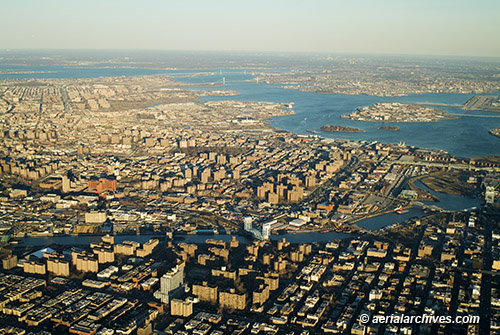
An extensive selection of current and historical aerial photographs of The Bronx, New York is represented in the aerial photography library of Aerial Archives. This collection includes oblique aerial photographs of Bronx, New York and a comprehensive collection of vertical aerial photography of the Bronx. The aerial photograph of The Bronx, New York shown on this page is available for immediate online license or print or, to obtain it optimized to your needs please contact Aerial Archives directly and reference the ID number in the caption to the photograph. Aerial Archives will also deliver Bronx aerial photography optimized to your specific specifications either as a digital file, print, aerial mural, transparency or backlit display. To obtain customized service or for current vertical coverage, please contact Aerial Archives directly.
|
|
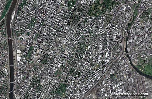
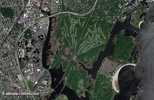
Also available are current and historical vertical aerial photographs (aerial photo maps) of The Bronx, New York and the rest of New York City. Additional information is available at aerial photo maps of New York City. To obtain the aerial photo maps of the Bronx shown above optimized to your needs please contact Aerial Archives directly and reference the ID numbers in the caption to the photographs. |
|
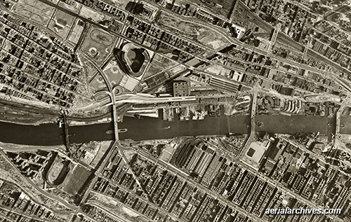
An extensive selection of historical aerial photographs of The Bronx, New York is also available from Aerial Archives. To obtain the historical aerial photograph of the Bronx shown above optimized to your needs please contact Aerial Archives directly and reference the ID number in the caption to the photograph. To obtain historical stock aerial photography of the Bronx, New York not shown on this site we recommend you use the pdf research request form. Additional information about obtaining stock aerial photography of The Bronx is also available at aerial photography research and at aerial photography research FAQs. |