

|
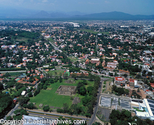
An extensive selection of aerial photographs of Cuernavaca, Morelos, Mexico is available from Aerial Archives. This collection of aerial photography includes oblique aerials of the entire city limits of Cuernavaca including views of each of the major roads, intersections and other features. Current and historical high resolution satellite imagery of the entire state of Morelos is also available. The aerial photograph of Cuernavaca, Mexico shown above is available for immediate online license or prints or, to obtain it optimized to your needs please contact Aerial Archives directly and reference the ID number in the caption to the photograph. For specific requests for Cuernavaca or for the State of Morelos aerial photography please contact Aerial Archives research. |