

Aerial Photographs of Panama Available for Immediate License
|
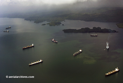
The aerial photography library of Aerial Archives contains an extensive selection of aerial and satellite photographs of the Republic of Panama, including Panama City. For a selection of aerial photographs of Panama available for immediate license or prints please visit aerials photographs of Panama. Additional aerial photographs of Panama City are available for review at aerial photographs of Panama City. This aerial photography collection includes oblique aerial photographs of Panama City, Panama, including aerial views of downtown Panama, individual corporate headquarters, the surrounding communities. Also available are numerous aerial photographs of the individual buildings in downtown Panama City, the Panama Canal and aerial photography of the Balboa Port, Panama's primary port. The collection also includes aerial photographs of the major Panama freeways and other Panama urban and geographical features. The aerial photograph of numerous vessels in Gatun Lake, Panama, waiting to transit the Panama Canal shown above is available for immediate online license or prints or, to obtain it optimized to your needs please contact Aerial Archives directly and reference the ID number in the caption to the photograph.
|
|
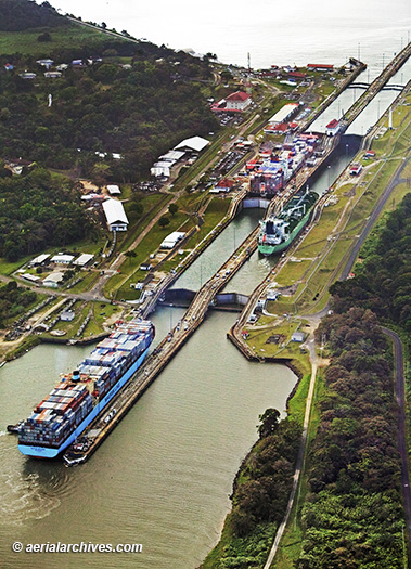
For a selection of aerial photographs of the Panama Canal available for immediate license or prints please visit aerials photographs of the Panama Canal. The aerial photograph of the Gatun Locks, Panama Canal shown above is available for immediate online license or prints or, to obtain it optimized to your needs please contact Aerial Archives directly and reference the ID number in the caption to the photograph.
|
|
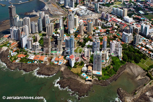
The aerial photograph of Punta Patilla, Panama City shown above is available for immediate online license or prints or, to obtain it optimized to your needs please
contact Aerial Archives
directly and reference the ID number in the caption to the photograph.
|
|
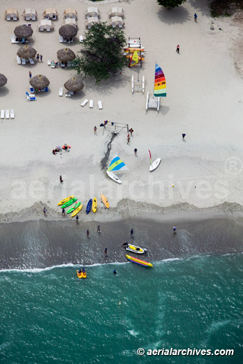
The aerial photograph of a beach on the Pacific Ocean in Panama shown above is available for immediate online license or prints or, to obtain it optimized to your needs please contact Aerial Archives directly and reference the ID number in the caption to the photograph. Additional information about obtaining existing aerial and satellite photography of Panama is also available at aerial photography research and at aerial photography research FAQs. |