

Aerial Photographs of Salinas Valley, California
Aerial Photographs of Salinas for Immediate Download
|
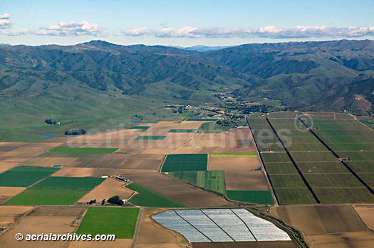
Aerial Archives creates custom aerial photography of Salinas Valley, California and its library contains an extensive selection of aerial photographs and aerial maps of the Salinas Valley, California. This collection of aerial photography includes oblique aerials of the entire Salinas Valley, California including views of each of highway 101 and other major roads, intersections and other features. The aerial photograph of Salinas Valley, California shown above is available for immediate online license or prints, or to obtain this image optimized to your specific specifications please contact Aerial Archives directly.
|
|
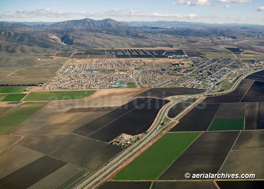
The aerial photograph of fertile land in Salinas Valley shown above is available for immediate online license or prints, or to obtain this image optimized to your specific specifications please contact Aerial Archives directly.
|
|
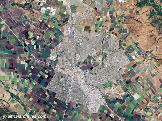
The archive also contains a comprehensive collection of vertical aerial photography of the Salinas Valley, California aerial photography including aerial maps of Salinas Valley, California both in color and black and white. The aerial map of the City of Salinas in Monterey County shown on this page is available for immediate online license or prints.
|
|
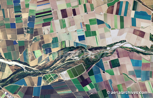
The collection also contains vertical aerial map coverage of the entire extents of the Salinas river and the farming and agricultural activity around it. The aerial map of farming and agriculture aound the Salinas river in Monterey county shown on this page is available for immediate online license or prints.
For custom aerial photography of the Salinas valley or specific requests for Salinas Valley, California aerial photography not shown on this web site, please contact Aerial Archives directly.
|