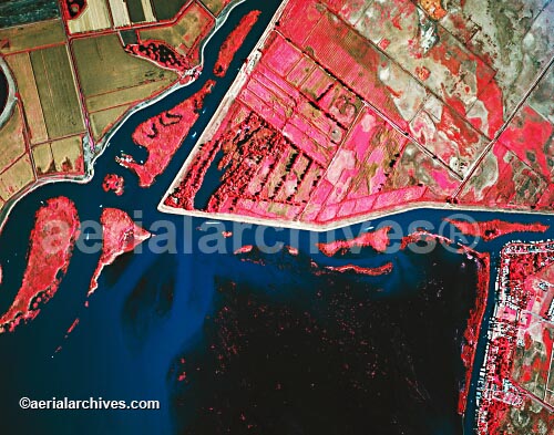
Sacramento San Joaquin river delta Stock Aerial Photograph

Franks Tract, submerged and Holland Tract
Sand Mound Slough, infrared aerial
Sacramento San Joaquin river delta
Image ID: AHLB2744.jpg
© Herb Lingl/aerialarchives.com
Terms of Image Use
|
This stock aerial photograph of Franks Tract, submerged and Holland Tract, Sand Mound Slough, infrared aerial, Sacramento San Joaquin river delta is available for license for reproduction use. Aerial Archives will also deliver this aerial photo optimized to your specific specifications either as a digital file on CD, DVD or via the internet, or, as a print, aerial mural, transparency or backlit display. To license this stock aerial photograph or to obtain a print, please contact Aerial Archives and reference the ID number in the caption to the photograph. This aerial photograph is a copyrighted image and not in the public domain; additional restrictions may apply including instances where third party or other rights holders are depicted or involved. Many additional stock aerial photographs of the Sacramento San Joaquin river delta are available from Aerial Archives as is a comprehensive selection of vertical aerial photography. The collection includes both current and historical aerials many of which are not yet shown on this site. Please consult aerial photography research if you are seeking a specific aerial photograph not shown here.
|