

Aerial Photographs of Brooklyn, New York
Brooklyn Aerial Photography For Immediate Download
|
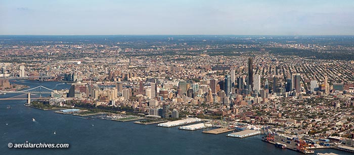
An extensive selection of current and historical aerial photographs of Brooklyn, New York is represented in the aerial photography library of Aerial Archives. To view thumbnails of aerial photographs of Brooklyn, New York available for immediate online license or prints, please consult aerial photographs of Brooklyn. This collection includes oblique aerial photographs of Brooklyn, New York, including aerial views of the Brooklyn waterfront, aerial views of the Brooklyn Bridge, Prospect Park, the waterfront and piers, the downtown area and the major freeways, avenues, parks and buildings. The archive also contains a comprehensive collection of vertical Brooklyn New York aerial photography including aerial photos of Brooklyn, NY and the entire New York metropolitan area both in color and black and white and Brooklyn, New York aerials in infrared color for an entirely different look. The aerial photograph of Brooklyn, New York shown above is available for immediate online license or prints or, to obtain it optimized to your needs please contact Aerial Archives directly and reference the ID number in the caption to the photograph. Aerial Archives will also deliver Brooklyn aerial photography optimized to your specific specifications either as a digital file or as a print, aerial mural, transparency or backlit display. To obtain customized service or for current vertical coverage, please contact Aerial Archives directly.
|
|
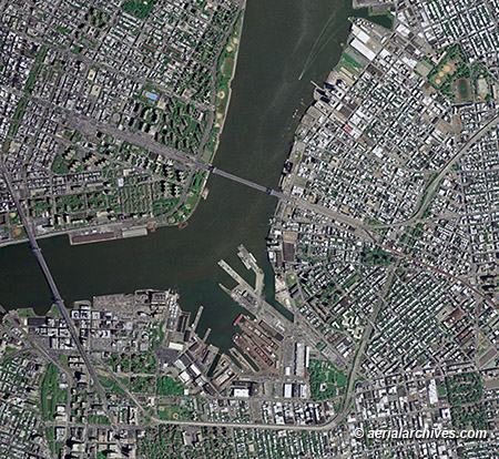
Also available are current and historical vertical aerial photographs (aerial photo maps) of Brooklyn, New York and the rest of New York City. Additional information is available at aerial photo maps of New York City. The aerial photo map of Brooklyn, New York shown above is available for immediate online license or prints or, to obtain it optimized to your needs please contact Aerial Archives directly and reference the ID number in the caption to the photograph.
|
|
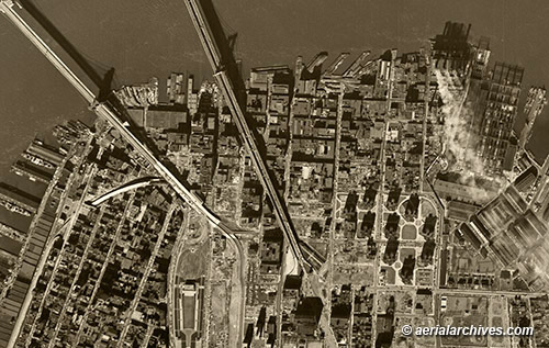
Historical aerial photography is available for the entire borough of Brooklyn. The historical aerial photograph of Brooklyn, New York shown above is available for immediate online license or prints.
|
|
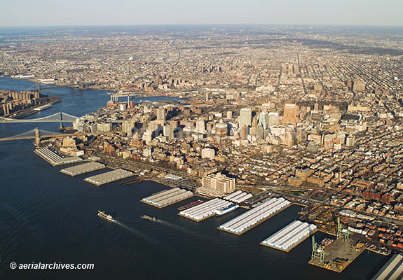
The historical aerial photograph of Brooklyn, New York shown above is available for immediate online license or prints. To obtain historical aerial photography of Brooklyn, New York not shown on this site we recommend you use the pdf research request form. Additional information about obtaining stock aerial photography is also available at aerial photography research and at aerial photography research FAQs. The historical aerial photograph of Brooklyn, New York shown above is available for immediate online license or prints or, to obtain it optimized to your needs please contact Aerial Archives directly and reference the ID number in the caption to the photograph.
|