

Aerial Photographs of Wetlands
Aerial Photographs of Wetlands Available for Immediate License
|
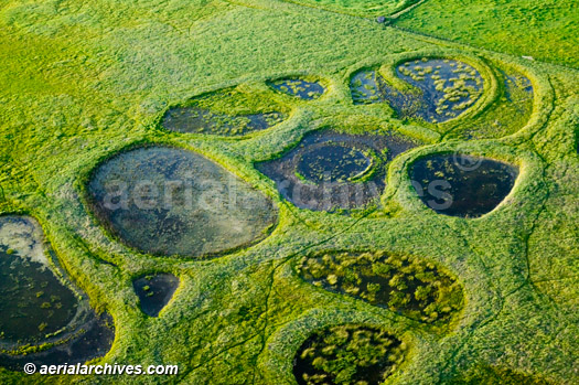
Aerial Archives collection includes a number of aerial images of wetlands, including aerial photographs of preserved and unaltered wetlands, agricultural wetlands and wetland restoration projects. Vertical aerial photography of the effects of wetlands is also available from Aerial Archives. The aerial photograph of vernal pool wetlands in Sonoma County California shown above is available for immediate online license or prints, or to obtain this image optimized to your specification, please contact Aerial Archives directly.
|
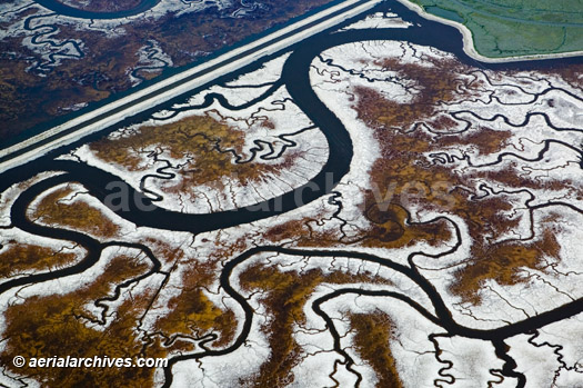
Aerial Photograph | Tidal Salt Marsh Channels | San Francisco Bay
|
The aerial photograph of vernal pool wetlands in Sonoma County California shown above is available for immediate online license or prints, or to obtain this image optimized to your specification, please contact Aerial Archives directly.
|
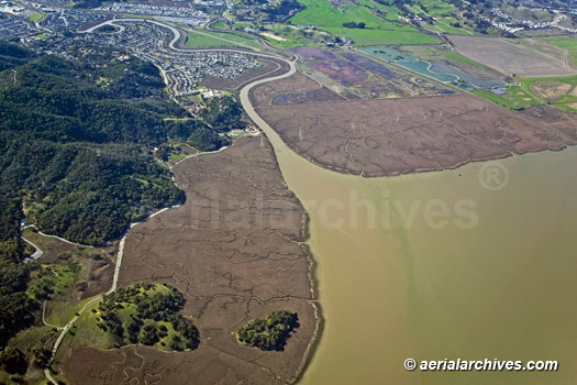
China Camp Wetlands
|
The aerial photograph of the China Camp wetlands and Gallinas Creek in Marin County California shown above is available for immediate online license or prints, or to obtain this image optimized to your specification, please contact Aerial Archives directly.
|
|
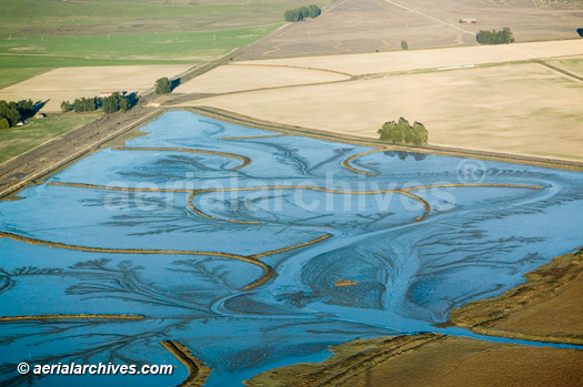
The Aerial Archives library contains numerous aerial photographs of wetland restoration projects with a particular strength in wetland restoration projects in the San Francisco bay area. Wetland restoration has had a major impact on the environmental quality in the San Francisco bay area. The aerial photograph of the the Sonoma Baylands wetland restoration project a shown above is available for immediate online license or prints, or to obtain this image optimized to your specification, please contact Aerial Archives directly.
To obtain a specific aerial photograph of wetlands not shown on this site, please use the pdf research request form. Additional information about obtaining stock aerial photography is also available at aerial photography research and at aerial photography research FAQs. |