

|
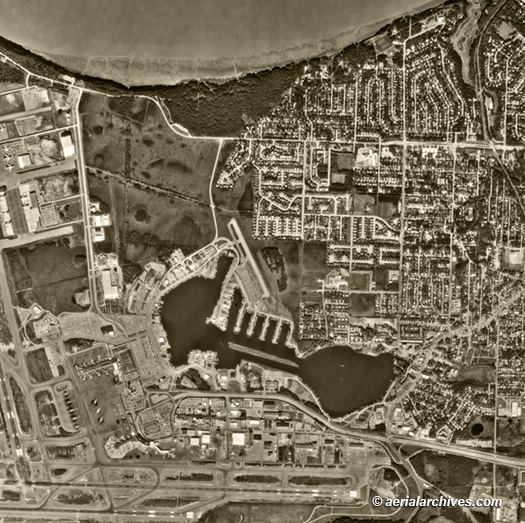
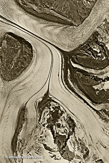
An extensive selection of vertical aerial photography (aerial maps) and satellite imagery of Alaska is available from Aerial Archives, including and historical and current aerial photography and satellite imagery. Available imagery includes georeferenced aerial photography of Alaska delivered both as prints and in digital form in both color and black and white. The aerial of coverage of aerial maps of Alaska can be completely customized both with respect to scale and to show an entire city, borough region or a complete geographical feature or simply a detailed portion of a city. For oblique (at an angle) aerial photographs of Alaska please consult Available imagery includes georeferenced aerial photography of Alaska and satellite imagery of Alaska and many other portions of Alaska, delivered both as prints and digital files. Coverage includes the following Alaskan boroughs: Aleutians East Borough, Anchorage Borough, Bristol Bay Borough, Denali Borough, Fairbanks North Star Borough, Haines Borough, Juneau Borough, Kenai Peninsula Borough, Ketchikan Gateway Borough, Kodiak Island Borough, Lake and Peninsula Borough, Matanuska-Susitna Borough, North Slope Borough, Northwest Arctic Borough, Sitka Borough, Southeast Fairbanks Borough and Yakutat Borough. Coverage also includes more frequently updated aerial maps for the following cities in Alaska: Anchorage, College Fairbanks, Juneau, Kenai, Ketchikan, Knik-Fairview, Kodiak, Lakes and Sitka.
|
|
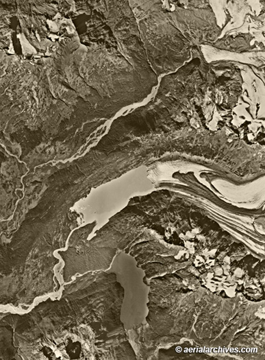
The aerial map of the retreating Alaskan glaciers near Anchorage shown on this page is available for immediate online license or prints or, to obtain it optimized to your needs or as a higher resolution file please contact Aerial Archives
directly and reference the ID number in the caption to the photograph.
|
|
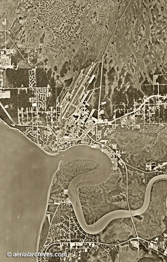
The aerial photo map of Kenai, Alaska shown on this page is available for immediate online license or print or, to obtain it optimized to your needs or as a higher resolution file please contact Aerial Archives
directly and reference the ID number in the caption to the photograph.
|
|
For current aerial photography coverage of Alaska please contact us. For historical research of aerial photography of Alaska we recommend that you use the research request form. Additional information about the process of researching historical aerial photography for your location is available at aerial photography research.
|