

Aerial Photo Maps and Satellite Imagery of Arizona
Aerial Photographs of Arizona for Immediate Download
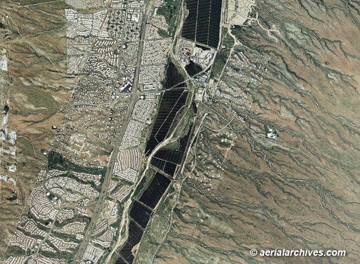
An extensive selection of aerial photo maps and satellite imagery of Arizona is available from Aerial Archives. Remote areas not covered by aerial photo maps are usually covered by satellite imagery with a resolution of up to a 50cm pixel. For more information about the resolution of satellite imagery pleasee consult satellite imagery resolutions. Available imagery includes georeferenced aerial photography and satellite imagery of Arizona delivered both as prints and digital files. Specialized services include high resolution aerial and satellite photography and delivery of geotiffs, customized labelling of aerial maps and output to specialized media. The coverage of aerial maps of Arizona can also be completely customized both with respect to scale and to show an entire city or metropolitan area or only a set of blocks, or if necessary, a vast portion of Arizona, or even a complete continuous view of the entire state. Among the locations for which aerial maps and aerial photography are available in Arizona are: Benson, Bullhead city, Casa Grande, Desert ridge mall, Flagstaff, Kingman, Lake Havasu city, Nogales, Prescott, Parker, Phoenix, Sierra vista, Tucson, Tombstone, Verde valley, Winslow and Yuma are also included in the collection. For current aerial photography coverage of Arizona please contact us. For historical research of aerial photography of Arizona we recommend that you use the research request form. Additional information about the process of researching historical aerial photography for your location is available at aerial photography research. Aerial Archives library also contains an extensive collection of oblique aerial photography including aerial photographs of the Grand Canyon, Page, Phoenix, Sedona, Tuscon and Yuma, Arizona. For information about oblique aerial photography of Phoenix and Tucson please consult Aerial Photographs of Phoenix and Aerial Photographs of Tucson. |