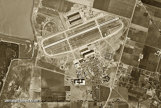
Aerial Archives - Aerial Photography of Mountain View

Aerial Maps of Mountain View, CA

Aerial Archives maintains an extensive library of vertical photography of Mountain View, CA, including aerial maps of Mountain View, and historical and current aerial photography.

Available imagery includes georeferenced aerial photography of Mountain View delivered both as prints and in digital form.

Specialized services include delivery of geotiffs, customized labelling of aerial maps and output to specialized media.

The aerial of coverage of aerial maps of Mountain View can also be completely customized both with respect to scale and to show the entire city or metropolitan area or only a set of blocks.

For current aerial photography coverage of Mountain View, California please contact us.

For historical research of aerial photography of Mountain View, California we recommend that you use the research request form. Additional information about the process of researching historical aerial photography for your location is available at aerial photography research.