

Aerial Maps
|
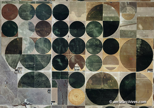
Aerial Archives has an extensive collection of historical and current vertical aerial photography and aerial maps of many United States metropolitan areas and a number of cities in Canada and Mexico. In addition, Aerial Archives provides a large selection of satellite photographs, beginning with early imagery acquired by Landsat, to recent, high resolution 30cm pixel commercial imaging satellite photography. Resolution samples of vertical aerial photography can be seen at aerial photography resolution samples and at samples of high resolution satellite imagery. Available imagery includes georeferenced aerial photography both as prints and digital files, infrared, natural color and black and white vertical aerial photography, and satellite imagery. Specialized services include delivery of geotiffs to a great variety of projections, customized labelling of aerial maps and output to specialized media.
Aerial Archives' aerial maps can be delivered as large murals (up to billboard size), as digital files for download, and in some instances, when a large contiguous area is requested, on digital media. Another strength is the delivery of very high resolution aerial photography. For background information please consult our high resolution reference. For current aerial map coverage of please contact us. Satellite imagery covering the entire globe is available from Aerial Archives up to a resolution of a 30cm pixel. Imagery available includes high resolution natural color, and imagery acquired by various other sensors at a variety of resolutions. For historical research of aerial maps, aerial photography and satellite imagery, we recommend that you use the pdf research request form. Additional information about obtaining historical aerial photography is also available at aerial photography research and at aerial photography research FAQs. Historical aerial maps are available for review and immediate download or prints from Aerial Archives. For an overview historical aerial photography available for immediate download or prints, please consult the historical aerial photography directory.
|