

Aerial Photographs of Silicon Valley
Silicon Valley Aerial Photography Available For Immediate Download
|
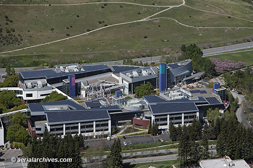
A large selection of aerial photographs of the Silicon Valley is contained in the aerial photography library of Aerial Archives. This includes oblique aerials of the Silicon Valley including aerial views of each of the individual cities and townships of the valley. The collection includes Santa Clara, Sunnyvale, Palo Alto, San Jose, Mountain View, Milpitas, Fremont, Los Gatos, Menlo Park, Atherton, Los Altos, Cupertino, Campbell and Saratoga as well as many of the major corporate headquarters in the Silicon Valley. The archive also contains a comprehensive collection of vertical Silicon Valley aerials including aerial photos of the silicon valley area both in color and black and white.
|
|
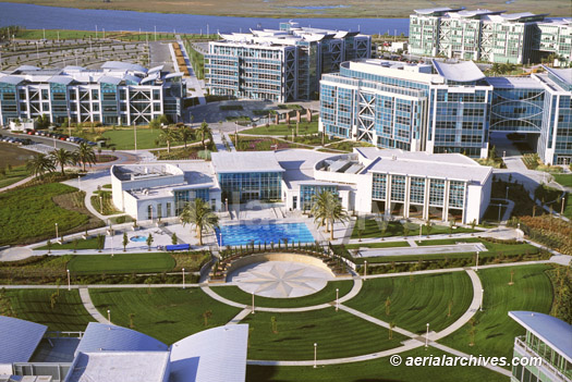
The aerial photograph of the Silicon Valley headquarters of PDI in Pacific Shores, Redwood City, CA, shown above is available for immediate online license or prints, or to obtain this image optimized to your specific specifications please contact Aerial Archives directly.
|
Aerial Photographs of Mountain View Available for Immediate Download
|
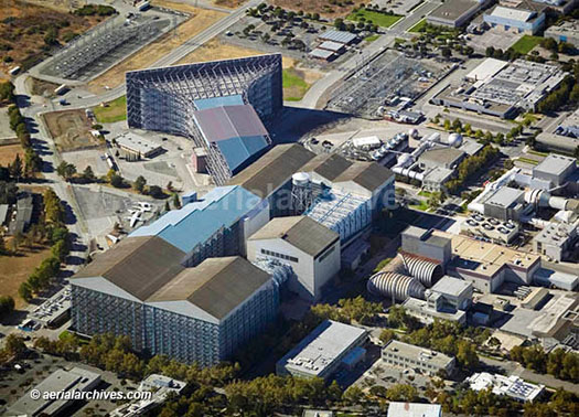
The aerial photograph of the wind tunnel at NASA Amses, Moffett Field in Mountain View, NASA's Silicon Valley presence, shown above is available for immediate online license or prints or please contact Aerial Archives directly to have an image optimized to your specifications delivered to you.
|
Aerial Photographs of Stanford Available For Immediate Download
|
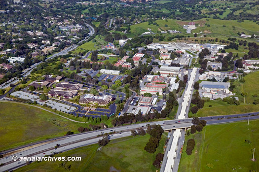
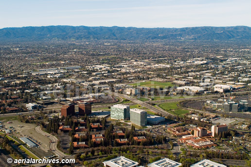
The aerial photograph of the Stanford Linear Accelerator and a portion of Sand Hill Rd., the Silicon Valley venture capital center, shown above is available for immediate online license or prints, or to obtain this image optimized to your specific specifications please contact Aerial Archives directly. A description of addition aerial photographs of Stanford is at aerial photographs of Stanford. |
|
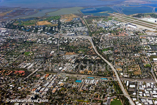
The aerial overview of Silicon Valley centered on Mountain View, CA which shows Highway 85 heading toward the Bayshore Freeway (101) with downtown Mountain View in the foreground and the Moffett field area in the background is available for immediate online license or prints or please contact Aerial Archives directly to have an image optimized to your specifications delivered to you.
|
Aerial Photographs of San Jose Available for Immediate Download
|
The Aerial Archives collection of aerial photographs of Silicon Valley includes numerous aerial photographs of San Jose including oblique (at an angle) aerial photographs of San Jose and vertical(straight down) aerial maps of San Jose. The aerial photograph of north San Jose, CA shown above is available for immediate online license or prints or please contact Aerial Archives directly to have an image optimized to your specifications delivered to you.
|
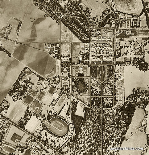
Historical Aerial Photographs of Silicon Valley Available For Immediate Download
|
Historical aerial photographs of Silicon Valley are available for numerous years. For historical aerial photography of Silicon Valley we recommend that you use the pdf research request form. Additional information about obtaining historical aerial photography of Silicon Valley is also available at aerial photography research and at aerial photography research FAQs. For additional information about aerial photography of Silicon Valley, please contact us.
|