

Aerial Photographs of Redwood City Harbor and Sea Port
|
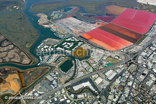
The aerial photograph of Redwood City Harbor and Port, California shown on this page is available for immediate online license or prints or, to obtain it optimized to your needs please contact Aerial Archives directly and reference the ID number in the caption to the photograph.
|
|
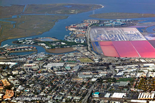
The aerial photograph of Redwood City Harbor and Port, California shown on this page is available for immediate online license or prints or, to obtain it optimized to your needs please contact Aerial Archives directly and reference the ID number in the caption to the photograph. Aerial photography of many additional ports and harbors is available from Aerial Archives. Additional information about obtaining existing aerial photography of ports not currently displayed on this site is also available at aerial photography research and at aerial photography research FAQs. |