Satellite Aerial Photography, Imagery and Earth Observation Data
More Satellite Resolution Samples
|
Different scales of satellite aerial photography and imagery will show differing amounts of detail. Among the satellite imagery which is available is declassified miliary satellite imagery, Landsat imagery and a wide variety of other commercially and governmentally acquired satellite imagery
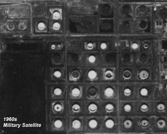
Declassified Satellite Imagery Samples from the 1960s The following examples illustrate the kind of information that the viewer can expect to resolve with declassified miliary satellite imagery from the 1960s:
In the meantime, if you have specific needs for satellite imagery, please contact Aerial Archives directly. |