

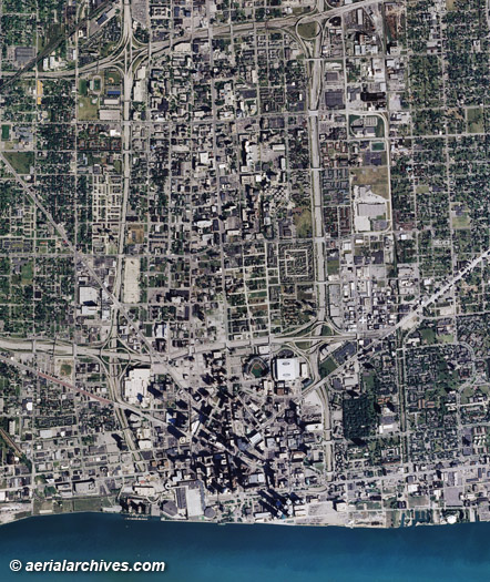
An extensive selection of aerial and satellite imagery and aerial maps of Michigan is available from Aerial Archives. Available imagery includes georeferenced aerial and satellite photography of Michigan delivered both as prints and digital files. Specialized services include high resolution aerial and satellite photography and delivery of geotiffs, customized labelling of aerial maps and output to specialized media. The coverage of aerial maps of Michigan can also be completely customized to show an entire city or metropolitan area or only a set of blocks, or if necessary, a large portion of of the state of Michigan. The aerial map of the downtown Detroit, Michigan and the Detroit river shown above is available for immediate online license or, to obtain it optimized to your needs please contact Aerial Archives directly and reference the ID number in the caption to the photograph.
|
|
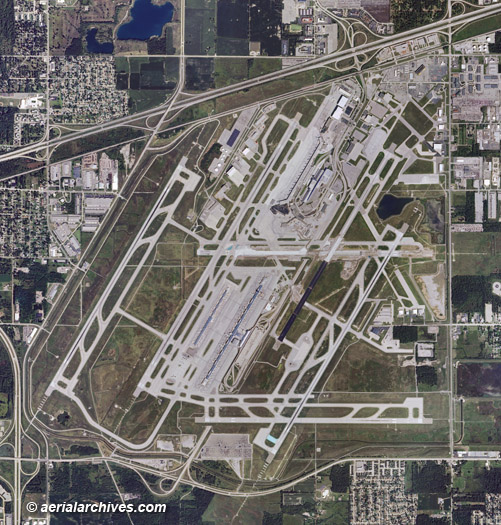
The aerial map of the Detroit Metropolitan Wayne County Airport shown above is available for immediate online license or, to obtain it optimized to your needs please contact Aerial Archives directly and reference the ID number in the caption to the photograph.
|
|
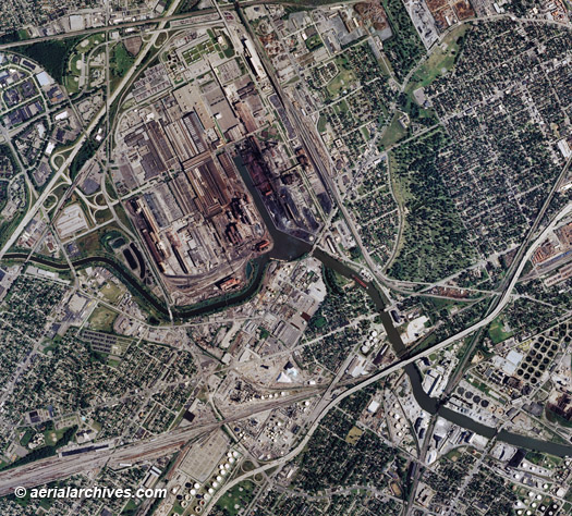
An aerial map of the Rouge River Ford Plant Detroit Michigan is available for immediate online license or, to obtain it optimized to your needs please contact Aerial Archives directly and reference the ID number in the caption to the photograph.
|
|
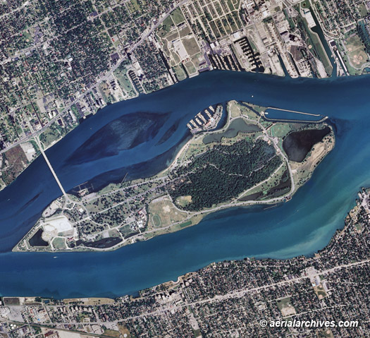
The aerial map of the Detroit Metropolitan Wayne County Airport, Michigan shown above is available for immediate online license or, to obtain it optimized to your needs please contact Aerial Archives directly and reference the ID number in the caption to the photograph. For current vertical aerial photography coverage of Michigan please contact us. For historical research of aerial photography of Michigan we recommend that you use the research request form. Additional information about the process of researching historical aerial photography for your location is available at aerial photography research.
|