

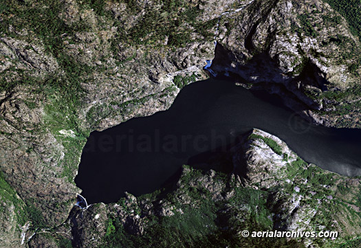
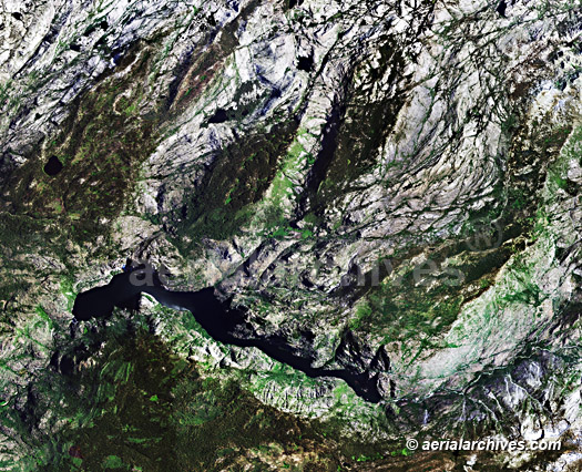
Aerial Archives maintains an extensive library of vertical aerial photography and aerial maps of Tuolumne county, CA, including historical and current aerial maps. Included are in this collection of aerial maps are Phoenix Lake Estates Chinese Camp Cold Springs Columbia Confidence East Sonora Groveland-Big Oak Flat Jamestown Long Barn Mi-Wuk Village Moccasin Mono Vista Phoenix Lake-Cedar Ridge Sierra Village Sonora Soulsbyville Strawberry Tuolumne City and Twain Harte Available imagery includes georeferenced aerial photography of Tuolumne county delivered both as prints and digital files. Specialized services include delivery of geotiffs, customized labelling of aerial maps and output to specialized media. The aerial of coverage of aerial maps of Tuolumne county can also be completely customized both with respect to scale and to show an entire metropolitan area or larger region or only a set of blocks. The aerial map of the Hetch Hetchy reservoir and O'Shaughnessy Dam in Tuolumne county shown on this page is available for immediate online license or prints.
|
For current aerial map coverage of Tuolumne county or to request a custom shoot, please contact us. To order an historical aerial map of Tuolumne county please use the research request form. |