

Aerial Photographs of Hayward for Immediate Download
|
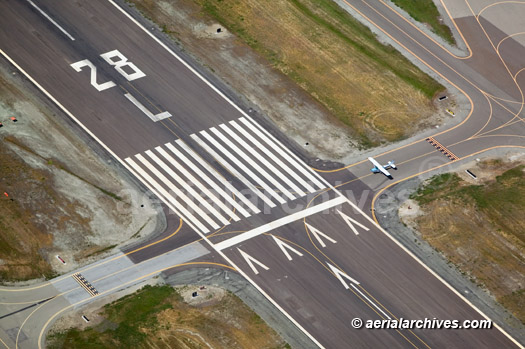
Aerial Archives creates custom aerial photography of Hayward, California and its library contains an extensive selection of Hayward aerial photographs. This includes oblique aerials of the entire city limits of Hayward including views of each of the major roads, intersections and other features. The archive also contains a comprehensive collection of vertical Hayward aerials including aerial photos of Hayward both in color and black and white. For vertical aerial photography (straight down aerial maps) of Hayward or other portions of Alameda county, please consult Aerial Maps of Alameda County. The aerial photograph of the Hayward Airport shown on this page is available for immediate online license or prints. For custom aerial photography of Hayward or for a specific request for existing Hayward aerial photography please contact Aerial Archives. |