

A comprehensive selection of current and historical vertical aerial photography (straight down aerial map views) of the San Francisco Bay area is available from Aerial Archives. Available aerial maps include orthorectified aerial photography of the San Francisco Bay Area delivered as digital files and as murals or smaller prints. Aerial maps of the San Francisco Bay Area can be completely customized both with respect to scale and to show the entire area.
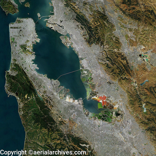
The aerial map oSan Francisco bay area shown above is available for immediate online license or prints, or to obtain this image at a larger file size suitable for very large displays, or optimized to your specific specifications please contact Aerial Archives directly.
|

|
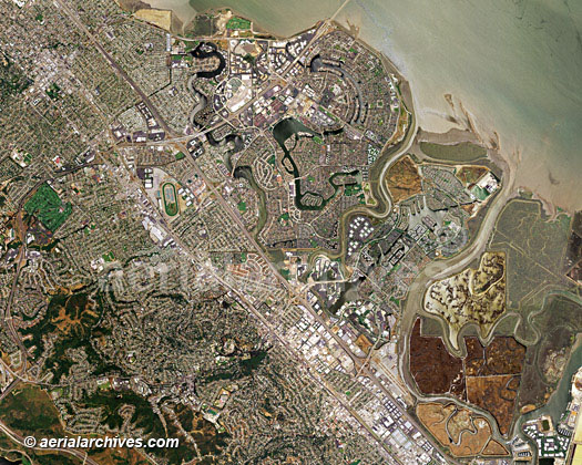
The aerial map of the south San Francisco bay area shown above is available for immediate online license or prints, or to obtain this image at a larger file size suitable for very large displays, or optimized to your specific specifications please contact Aerial Archives directly.
|
Aerial Archives also provides both current and historical aerial maps of each of the counties of the San Francisco Bay area. For information relating to a specific bay area county please consult the following references:
Aerial Maps of Alameda County,
The aerial map of the a portion of San Mateo county shown above is available for immediate online license or prints, or to obtain this image at a larger file size suitable for very large displays, or optimized to your specific specifications please contact Aerial Archives directly.
|
|
Aerial Archives also provides current and historical aerial maps of all San Francisco bay area cities. Some references which may contain useful information include:
Aerial Maps of Oakland
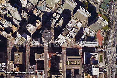
The aerial map of San Francisco, CA shown above is available for immediate online license or prints, or to obtain this image at a larger file size suitable for very large displays, or optimized to your specific specifications please contact Aerial Archives directly. For current aerial map coverage of the San Francisco Bay area, California please contact us. For historical research of aerial photography of the San Francisco Bay area we recommend that you use the research request form. Additional information about the process of researching historical aerial photography for your location is available at aerial photography research.
|