Aerial Photo Maps of San Francisco
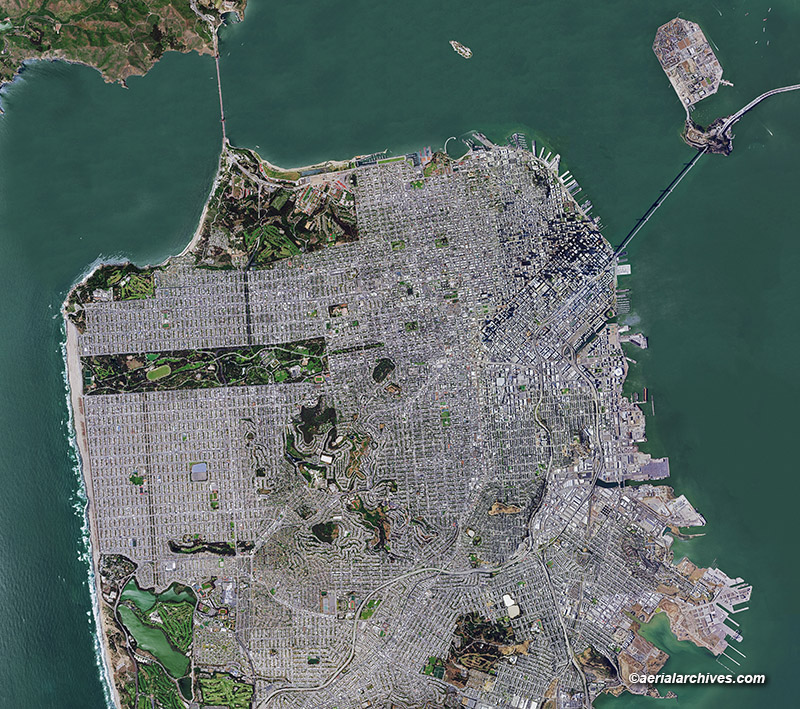
Image ID: AHLV4666
Aerial Archives provides current and historical aerial photo maps of San Francisco, California.
The aerial photograph shown above is a composite of many aerial photos and is suitable for enlargement to 14′ wide.
Higher resolution imagery which will enlarge to 30′ wide of the same view is also available on a custom basis.
In addition to aerial photography, Aerial Archives provides very recent satellite imagery of San Francisco.
License this photograph or purchase a print
More information about aerial photo maps of San Francisco
Aerial maps of San Francisco available for immediate license or prints
