Month: September 2022

New Aerial Photography of the Pacific Northwest: British Columbia, Washington & Oregon | August, 2022
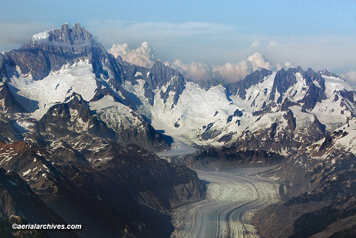
aerial photograph of the Klinaklini Glacier, British Columbia, Canada
Image ID: AHLE1599

From August 12 through August 31, I had the opportunity to create new aerial photography of the Pacific Northwest.

Flying over the mountains from Bella Coola, British Columbia to Comox, Vancouver Island brought me to the Klinaklini Glacier shown in the aerial photograph above.

The Klinklini Glacier is the largest glacier in the Coast Mountains of British Columbia and one of the largest glaciers in North America. It is located west of the Klinaklini River and the head of the Knight Inlet. Scientists are studying its changes and retreat over time. The glaciers of British Columbia contain a large portion of the total water supply of Canada.

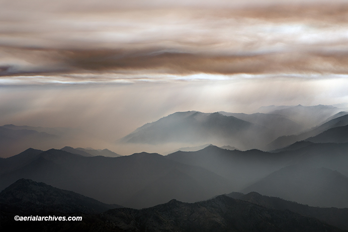
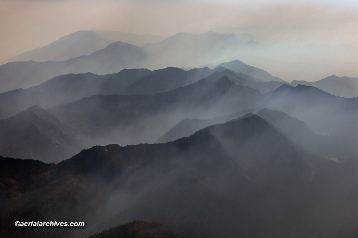
Visibility was exceptional during most of the days during which I acquired new aerial photography of the Pacific Northwest.

Areas I photographed in British Columbia include Vancouver, Victoria, the Frasier River Valley, the Okanagan Valley, much of the eastern shoreline of Vancouver Island and the Coast Mountains of British Columbia.

Atmospheric conditions in Seattle, the remainder of Puget Sound, Portland and the Columbia River were all exceptional for aerial photography while I was working there.

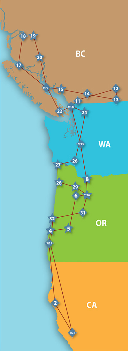
To see the details of this photography flight, please download this interactive pdf which has the route of flight shown in the graphic below together with links to the locations and to larger versions of the photographs.

Please use these links to view additional aerial photography for the locations covered by this trip:

Aerial Photography of British Columbia

Aerial Photography of Washington

Aerial Photography of Oregon

Aerial Photography of Vancouver, BC

Aerial Photography of Portland, OR

License Image ID: AHLE1599 shown above or purchase a print

The Route of the Flight

Pacific Northwest Aerial Photography Aerial Archives 2022
Route of Flight for Aerial Photography of the Pacific Northwest, August, 2022
Share

Aerial Photographs of Wildfire Smoke in California

An aerial photograph of wildfire smoke in the mountains of Humboldt County, California
aerial photograph of wildfire smoke in the mountains of Humboldt County, California
Image ID: AHLE1596

Herb Lingl took this aerial photograph of wildfire smoke in the mountains of Humboldt County, California from an altitude of approximately 9,500′ above sea level on August 31, 2022. It is part of a series of aerial photographs documenting wildfires in California.

The volume of smoke being generated by this and other fires burning in the western portion of North America is massive. The smoke reaches high altitudes and spreads to distant locations. Wildfire smoke from West Coast wildfires has reached New York City and Washington, DC in recent years.

The National Oceanic and Atmospheric Administration’s Global Systems Laboratory created a striking animated graphic showing the spread of wildfire smoke. The New York Times published it in a 2021 article entitled See How Wildfire Smoke Spread Across America.

The smoke from the wildfire shown above is from the Six Rivers Lightning Complex Fire. It has already burned well over 30,000 acres.

Smoke is a particularly concerning wildfire hazard. It is certain to have widespread long term impacts on human health. Particulate matter, especially small particles (less than 2.5 microns in size) can be inhaled into the deepest parts of the lungs causing adverse heart and lung effects. While these shorter term impacts have received the most attention, there are now an increasing number of studies on the long term impacts on human health of wildfire smoke. The chemicals in wildfire smoke are correlated with an increase in the risk of all kinds of cancer. Among the other long term impacts of wildfire smoke identified by these studies are premature mortality, increased respiratory and cardiovascular disease, as well as mental health issues.

aerial photograph of wildfire smoke in the mountains of Humboldt County, California
Image ID: AHLE1597

To view more aerial photography of California’s wildfires please visit:

Aerial Photography of California Wildfires

License Image ID: AHLE1596 shown above or purchase a print

License Image ID: AHLE1597 shown above or purchase a print

To view more aerial photography of Humboldt County, California, please visit:

Aerial Photographs of Humboldt County

Share