Aerial Photographs

San Francisco Skyline Aerial Photo from Giants Stadium

aerial photograph San Francisco Giants stadium financial district skyline
This aerial photograph the San Francisco financial district skyline shows the Giants Stadium and South Beach Marina in the foreground. Currently known as Oracle Park, the stadium has been renamed numerous times. During its opening in 2001 it was called Pacific Bell Park, then, in 2003, SBC Park and in 2006 AT&T Park. To the right of the stadium is the South Beach Harbor Marina. Visible in this aerial photograph of the San Francisco skyline are many of San Francisco’s high rises including the Salesforce Tower which was completed in 2018, The Transamerica Pyramid, 555 California (the Bank of America Tower), 345 California Center, One Rincon Hill, the Spear Street towers and numerous other high rises. In the background a layer of fog is moving in through the Golden Gate, and behind it the Marin Headlands. Alcatraz island is visible under the fog to the right of the Salesforce Tower.
Image ID: AHLE0364
© Herb Lingl/aerialarchives.com

License this photograph or purchase a print.

More aerial photography of San Francisco skylines.

Detailed aerial photographs of San Francisco skyscrapers.

Share

Levi’s Stadium

aerial photograph Levi's Stadium Santa Clara, California
This aerial view of Levi's Stadium in Santa Clara, California, home of the San Francisco 49ers, shows elements of the stadium design that made it the first new construction professional football stadium that received a Gold LEEDS certification. These include a green roof of approximately 27,000 square feet and approximately 20,000 square feet of rooftop solar panels. The stadium uses recycled water where possible. During construction a large portion of construction waste was recycled or salvaged.
Image ID: AHLE0249
© Herb Lingl/aerialarchives.com
Share

Boating on the Petaluma River

Power Boat Aerial Petaluma River
A power boat creates a long wake on the Petaluma River, Sonoma county, California. Adjacent to the Petaluma River in this aerial photograph is the Petaluma Marsh Wildlife Area, which totals 4,200 acres of tidal salt marsh, mudflats, coastal oak woodlands, and coastal scrub habitats. The habitats support numerous species including willits, curlews, dowitchers, night herons, and black-bellied plovers, migratory birds and deer, raccoons, jackrabbits, and foxes. The wetland in the wildlife area is the largest remaining natural tidal brackish marsh in California.
Image ID: AHLE0242
© Herb Lingl/aerialarchives.com

License this photograph or purchase a print.

More aerial photography of Sonoma County, California.

More aerial photography of Petaluma, California.

Share

Apple Park

Apple Park, Cupertino, California
This aerial photograph shows Apple Park, Apple's new corporate headquarters, as it nears completion. 2000 people already work in the building. When completed Apple Park will be one of the largest and most energy efficient buildings in the world.
Image ID: AHLE0229
© Herb Lingl/aerialarchives.com

License this photograph or purchase a print.

More aerial photography of Cupertino.

More aerial photography of Silicon Valley.

Share

San Francisco From the Marin Headlands

The fog rolls in from the Pacific Ocean in this view of San Francisco from the Marin Headlands. One tower of the Golden Gate bridge is visible in the upper center of the photograph. Much of the San Francisco financial district is obscured by fog, but the Salesforce Tower under construction and the Bank of America Tower rise above the fog. Alcatrax, Yerba Buena Island, the Port of Oakland and the Oakland Hills are in the background.
Image ID: AHLE0192
© Herb Lingl/aerialarchives.com

License this photograph or purchase a print.

More aerial photography of San Francisco in the fog.

More aerial photography of Marin County, California.

Share

Super Bowl 50 Aerial Photography | San Francisco

aerial photograph Ferry Building during Super Bowl 50, San Francisco, California at night
An aerial photograph of the San Francisco Ferry Building at night during the Super Bowl 50 celebrations in San Francisco. Super Bowl City festivities are taking place in front of the Ferry Building including a portion of the Embarcadero, Market Street and Justin Herman Plaza. Super Bowl city opened on January 30. It features cultural performances and displays including more than 35 free performances on the City Stage presented by Levi's and a Fan Energy Zone presented by SAP which celebrates the Bay Area's leadership in technology and innovation. Super Bowl City is presented by Verizon, which has installed 75 small cells in the Bay Area to accommodate the additional cellular traffic during the festivities.
Image ID: AHLE0142
© Herb Lingl/aerialarchives.com

License this photograph or purchase a print.

More aerial photography of Super Bowl City in San Francisco during Super Bowl 50

Share

Bombay Beach, Salton Sea, California

Bombay Beach, Imperial County, California
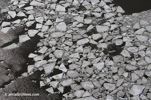
This historical aerial photograph shows California Highway 111 as it runs along the Salton Sea shoreline in 1954 before Bombay Beach, California was developed. Bombay Beach is the lowest community in the United States at 223' below sea level. Bombay Beach was once a thriving resort where guests swam, water skied and golfed. The Salton Sea ecosystem deteriorated rapidly in the 1970s as agricultural run off and pesticides polluted the sea which has no run-off. Bombay Beach marks the southern end of the San Andreas fault. A 2011 documentary film entitled Bombay Beach directed and produced by Israeli filmmaker Alma Har'el about the American Dream at the edge of a desert sea won Best Feature Documentary at the Tribeca Film Festival that year. The development has turned into what Ella Morton, writing for slate.com calls 'a bleached, rusted, abandoned wasteland.'
Image ID: AHLV4420
© aerialarchives.com

Details about aerial maps and historical aerial photography of Imperial County
More aerial photographs of the Salton Sea and Imperial County, California

Share